
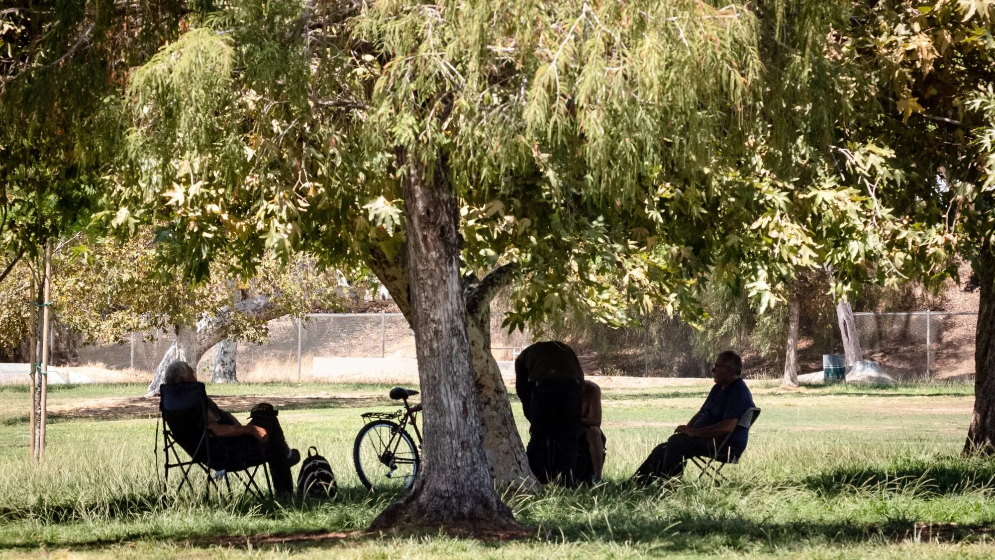
Hot and muggy weather will continue across Los Angeles and Orange counties Friday, along with a chance of showers and thunderstorms before cooler conditions arrive over the weekend.
Read more These memorial events will honor Big Bear bald eagle Jackie
Temperatures remained hot across Los Angeles and Orange counties Thursday afternoon, reaching 98 degrees in Van Nuys, 94 in Burbank and Fullerton, 93 in Santa Ana and 91 in downtown Los Angeles.
Extreme heat warnings remain in effect through 8 p.m. Friday across much of Los Angeles County.
ALSO SEE: Cooling system fails at Cal State LA as heat rises
In Orange County, extreme heat warnings will remain in effect through 8 p.m. Friday for the Santa Ana Mountains and foothills and inland areas including Santa Ana, Garden Grove, Anaheim, Fullerton and Irvine. A less severe heat advisory will be in effect in Orange County coastal areas.
National Weather Service forecasters said cloud cover lowered temperatures across much of Los Angeles County on Thursday, but the influx of tropical moisture kept conditions unusually humid.
“Despite the numeric cool down, most will agree that it still feels hot as dewpoints are around 70 degrees for much of our region, which is similar to Florida right now,” forecasters said.
Less cloud cover is expected across Los Angeles County Friday, which could allow temperatures to climb from Thursday’s levels, according to the NWS.
The tropical moisture, associated with the remnants of Tropical Storm Iselle, will also maintain a chance of showers and thunderstorms through Friday.
Forecasters said a trough to the northwest will interact with the tropical moisture and enhance thunderstorm chances, although the greatest likelihood will be north of Los Angeles County. Chances generally decrease farther south.
Isolated showers or thunderstorms will remain possible in Los Angeles County, with any storms capable of producing cloud-to-ground lightning and erratic winds.
Read more Nashville’s airport would be renamed for Dolly Parton under Tennessee governor’s proposal
“The main threat will continue to be cloud-to-ground lightning and erratic winds, which pose a significant risk for fire starts and growth,” the NWS said.
The threat will coincide with already elevated wildfire danger in parts of Los Angeles County. Red flag warnings will remain in effect until 3 p.m. Friday for the San Gabriel Mountains and areas along the 5 and 14 freeway corridors.
Forecasters said triple-digit temperatures, deep atmospheric mixing, locally gusty winds and low humidity in interior areas could produce elevated to briefly critical fire weather conditions.
The tropical moisture is expected to move out of the region Friday night, clearing the way for a cooler and drier weekend.
Temperatures will begin falling Saturday, with more substantial cooling expected Sunday as temperatures drop below normal, according to the NWS. Marine layer clouds are also expected to return to coastal areas.
Monday is expected to remain relatively quiet with below-normal temperatures and coastal low clouds.
Forecasters are already monitoring another potential influx of tropical moisture next week. A disturbance developing off the Baja California coast is expected to become a tropical storm, and about half of forecast projections show some of its moisture reaching Southern California between Tuesday and Thursday.
Only about 10% of the projections currently produce rain, however.
“The most likely outcome is for some increased mugginess and warmer conditions and that is about it,” forecasters said, describing other potential impacts as remaining in a “wait and see holding pattern.”
Read more Weather cancels lunar eclipse party, but nobody told sun, moon and those who showed up anyway