
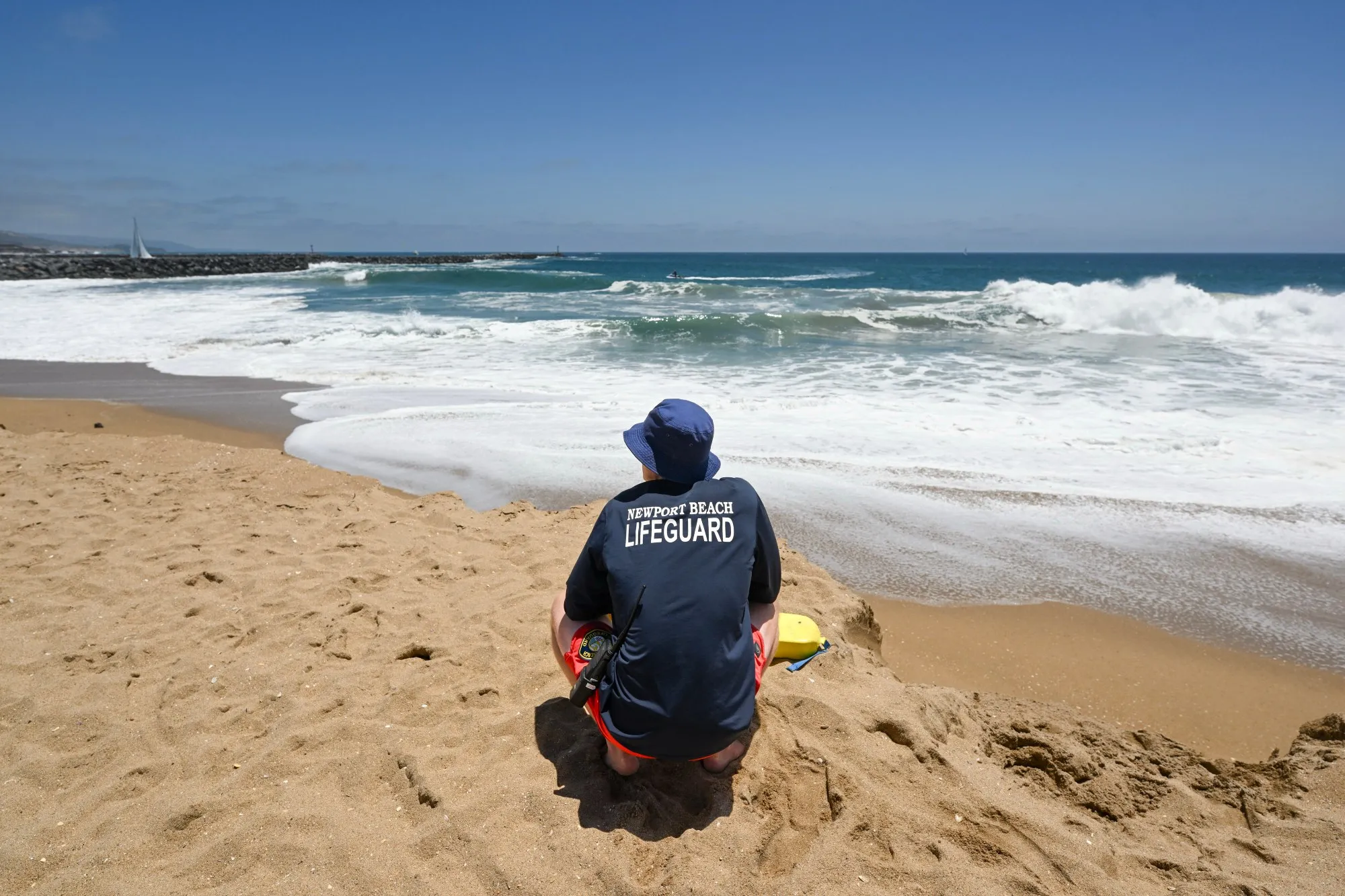
Rainfall courtesy of Hurricane Marie was pelting parts of Southern California Sunday morning, with potentially dangerous surf and rip currents expected at local beaches.
Read more Del Mar consensus picks for Sunday, September 6, 2026
The rain was forecast to continue intermittently throughout Sunday.
The National Weather Service said it has high confidence Hurricane Marie will remain well offshore but will send a growing southerly swell and large waves toward the coast as the Labor Day weekend continued, particularly at south-facing beaches.
A high surf advisory and coastal flood advisory will be in effect until 11 p.m. Tuesday for portions of the Los Angeles County and Orange County coasts.
Large breaking waves of 6 to 10 feet for south and southwestern-facing beaches and 4 to 7 feet for west-facing beaches are expected, with strong and dangerous rip and longshore currents.
Minor coastal flooding is also possible from a combination of high surf and high astronomical tides along vulnerable south-facing shores, with Avalon, Long Beach’s Alamitos Peninsula and Malibu among the areas of greatest concern.
“With huge crowds expected at the beaches for the Labor Day holiday, the emphasis for these statements is to alert the public to be extra careful in and near the ocean,” according to the NWS.
In Seal Beach, ocean water inundated parking lots near the Seal Beach Pier and got very close to beachfront properties on Saturday. Video on ABC7 showed a group of people pushing a vehicle to safety.
“This is crazy. I’ve lived here for 20+ years, and usually we get like 1- to 2-foot waves. But when we get the storm to come in here, it’s like, crazy. We’re just not used to that,” Seal Beach resident Clifford Scarborough told the ABC7 reporter.
Officials are urging inexperienced swimmers to stay out of the water.
High tides will also increase through early next week and are expected to exceed 7 feet by Monday. The combination of elevated tides and the south swell will create a moderate risk of coastal flooding in some areas.
Read more Rams offense preview: Can Matthew Stafford repeat as MVP?
Marie is forecast to track northwest over the next several days while remaining well off the California coast.
Forecasters cautioned that roads could become especially slick with any wetting rain because of oils that have accumulated during the dry summer months.
There is also a 5% to 15% chance of thunderstorms, mainly in the Los Angeles County mountains and urban areas. Any stalled or repeatedly developing storms could produce more than a quarter-inch of rain in an hour, according to the weather service.
Los Angeles Mayor Karen Bass said her office will continue coordinating with the Emergency Management Department, Los Angeles Fire Department, Los Angeles Police Department, Los Angeles County Public Works and other relevant city departments to ensure all personnel are ready to respond as needed.
Humidity will increase as Marie’s moisture reaches the region, with increased cloud cover expected through the weekend. Overnight temperatures could remain in the 70s along southern coastal areas and coastal valleys where clouds persist.
Forecasters said unsettled weather could linger into early next week as moisture from the remnants of Marie interacts with an unusually active jet stream over the region.
When the storm moves on, the Southland is in store for another heat wave, with temperatures soaring into the 90s in many areas beginning Monday and peaking Tuesday through Thursday with triple-digit highs in the warmer areas, before declining to more-average levels next weekend.
Read more Trump administration makes another appeal to the Supreme Court to allow mail ballot restrictions