
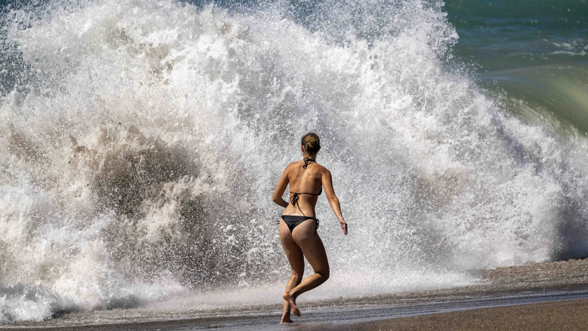
If Hurricanes Odalys and Polo along with extreme high tides weren’t enough to make Southern California coastal residents nervous about crashing waves and rising waters damaging homes and other property, add one more thing to that destructive list:
Read more Questions linger as GKN Aerospace plans to resume phased operations
A Kelvin wave.
So what exactly is a Kelvin wave, and should we be worried about it?
A Kelvin wave is a warm-water anomaly expected to show up any time now that could add to extreme high tides of nearly 6 feet by pushing waves even higher, up to a foot, experts said.
And those higher water levels could mean greater concern for the area’s already struggling coastline.
A Kelvin wave has caught the media’s attention, peppering headlines for the last several weeks. But they are actually something that happens all the time, said Andrew Leising, a research oceanographer for the National Oceanic and Atmospheric Administration.
TODAY: High tide, waves crash against Long Beach boardwalk from Hurricanes Odalys, Polo
“You can expect the sea level will be higher than it usually is,” said Leising, noting that small Kelvin pulses have already arrived along the Southern California coast. “They always happen; it just depends on what else is going on whether we pay attention or not.”
Kelvin waves aren’t so much a wave, but more of an underwater pulse traveling about 6 mph that happens when warm water sits on the ocean’s surface, causing the water to thicken.
Kelvin waves travel deep in the ocean along interfaces between surface warm water and deeper cold water. The ocean energy works its way around the equator and then up the coast toward Southern California, Leising said.
Read more Building unity by gathering OC Around the Table
“That’s probably just reaching us now,” he said last week.
ALSO SEE: Hurricane Polo, high tides and Kelvin wave bring worry to the coast
It’s not physically moving warm water up the coast, he explained. It’s like a whip crack that makes the ocean’s warm surface thicker.
“As that whip-cracking wave works its way up the coast, it’s thickening the top layer that is warm. That lets the whole surface area be warmer,” he said. “We can see it from a satellite; it looks like it’s moving.”
Whether it will cause damage depends on the force of the swells, and how high tides are — and if it is indeed arriving now, it will coincide with the 6-foot tides and hurricane swell already churning up the ocean’s force.
“Worst case? It will be even worse, you’ll get more (impact),” he said of the erosion troubles and damage plaguing the region from the last hurricane remnants to sweep along the coast.
“The Kelvin wave coming — this is the big one coming in now,” Leising said. “Anytime now, any moment, it could have already gotten here. The thought is, as of (last week), it is just coming up from Baja.”
Once the wave comes through and disturbs the mixed layer, it can be weeks or months for conditions to rebound as colder water moves in during the fall or spring.
The phenomenon is associated with the El Niño-fueled warming of ocean waters and the dying down or reversal of the trade winds that normally blow from South America toward Asia, leading to the massive but slow moving wave of warm water heading west across the Pacific Ocean, according to scientists.
Read more Taxpayers have funded nearly $1.5M in pro-Trump ads. Criticism is mounting, including from the GOP